


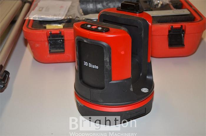
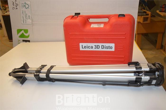
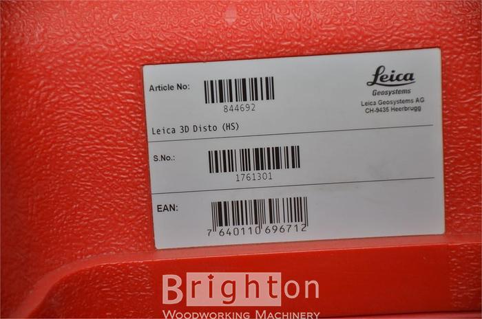
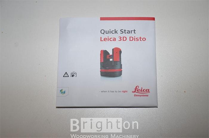
Leica 3D Disto used Laser Measuring Tool #BBM2409

Leica 3D Disto used Laser Measuring Tool #BBM2409
Location:Ontario, Canada
Description
Leica 3D Disto used Laser measuring tool
Click INSTANT PRICE anywhere you see it on our site to receive an instant auto-quote, with Pricing and Specs, directly to your email!!
* All Descriptions, Specifications and Features are correct to the best of our knowledge. Interested buyers should verify before purchasing.
For leasing info call Lindsay at 905-758-0797 (mention Brighton Woodworking Machinery and BM# of machine)
For shipping quote, call Katharine at 905-663-2881 (mention Brighton Woodworking Machinery and BM# of machine)
Specifications
| Manufacturer | Leica |
| Model | 3D Disto used Laser Measuring Tool |
| Condition | Used |
| Stock Number | BBM2409 |
| Quality | Very Good |
| Electrics | V / Ph / 60 Hz |
Additional Features
Product Highlights
The Leica Geosystems 3D Disto is a unique tool for capturing and projecting accurate three dimensional measurements. The speed and precision of the 3D Disto brings unprecedented efficiency to applications like:
Creating CAD templates: CNC is only good as your file. A 3D Disto is the bridge between reality and CAD. When you are cutting to fit and you know your original measurements are accurate, you can cut even the most expensive materials with confidence.
3D Visualization and Navigation: The upgraded Leica 3D Disto Software for smart devices using Windows® now displays results in three dimensions. With the 3D navigation, it is even easier to check measured points.
Capturing As-Built Measurements: The best way to eliminate surprises later in the job is to know what you are starting with. The 3D Disto accurately captures 3D coordinates with the precision you need for planning. If your work involves expensive materials that are difficult to cut, transport or are processed off-site, you know accurate “as-built” measurements are critical.
Building Information Modeling (BIM) : Take DXF data directly into your Windows tablet and use the 3D Disto to layout anchor points, transfer heights or verify critical construction locations.